Golden State Water Company
GIS and Infrastructure for Operations and Maintenance
- Development of Esri Local Government Information Data Model
- CAD Data Conversion and Linkage
- Sub-Meter GPS Data Collection
- Valve and Hydrant Operation Assessment
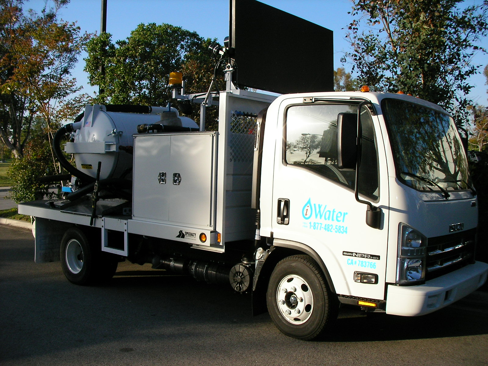
iWater, Inc., used existing CAD drawings to assess valve and hydrant locations throughout each of the Fourteen (14) separate systems. Each service area varied in size ranging from 150 to 4,000 fire hydrants. After each system was analyzed, the Esri Local Government Data Model was used for geodatabase design and data collection.
Once the GPS locations of over 50,000 valves and fire hydrants were captured, iWater GIS staff was able to overlay the existing CAD drawings and As-Builts. This enabled iWater GIS Staff to create a seamless Geometric Network of System Valves, Fire Hydrants, Water Mains and Service Laterals.
With the GIS in place, iWater’s Department of Health certified field crews were able to verify the status, condition of valves and fire hydrants pertaining to each system. By exercising the valves and flushing hydrants, operations-specific details such as condition, ease/difficulty of operation, torque data, physical diameter and operation comments were collected in infraMAP Software. iWater then delivered a geodatabase to the Golden State Water Company with all pertinent information. This type of data is critical for any water utility and now GIS as well as Engineering can take advantage of data collected for further system analysis.