City of Santa Ana
Implementation
Data Conversion & Mobile GIS
- Microstation to GIS Conversion
- Enterprise SDE Integration (SQL Express)
- Sub-Meter GPS Data Collection
- infraMAP® Field Mobile Interface
Description
iWater, Inc., provided City of Santa Ana with a complete GIS system using CAD conversion, sub-meter GPS, and application development. The City’s water division is comprised of the following:
- Serves a population of 347,000
- Approximately 10,000 distribution system valvess
- Approximately 5,000 fire hydrants
- Approximately 500 miles of pipeline
iWater used existing Microstation drawings to assess valve and fire hydrant locations throughout the 27 + square miles of service area. After the system was analyzed, the iWater data model was used for the geodatabase design and data conversion began.
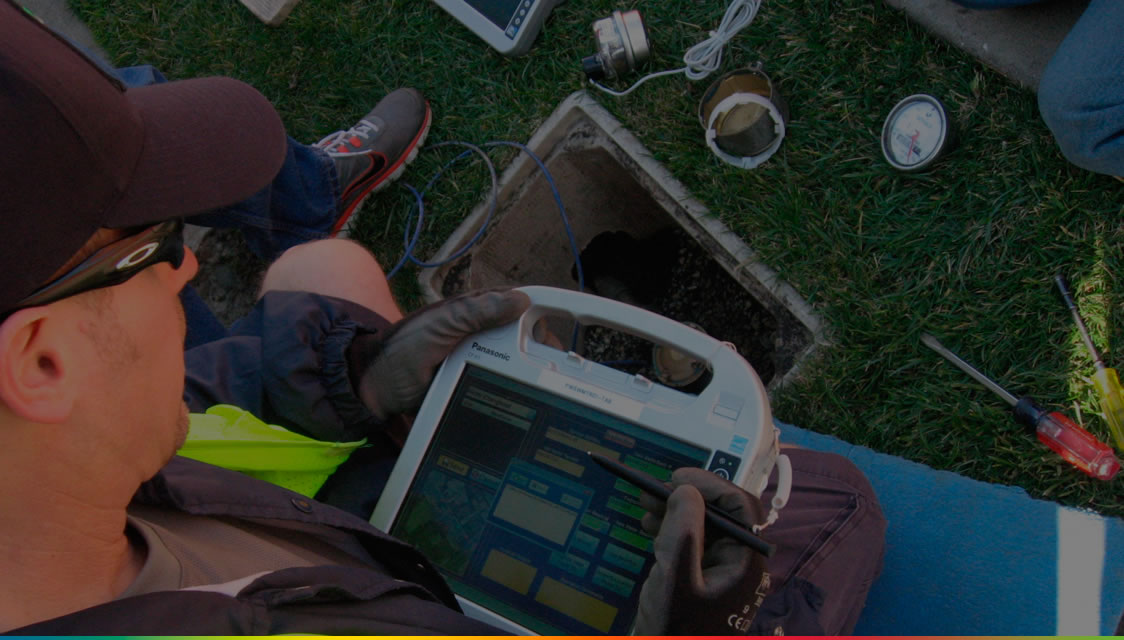
iWater Field Crews used sub-meter GPS to collect the locations of pipeline vertexes, valves and hydrants throughout the service area. Previously, updates would take anywhere from six months to a year to add to the maps. Now, the data could be instantly synchronized and catalogued with the master SDE geodatabase.
With a complete GIS in place, the City was able to take full advantage by using infraMAP software out in the field on tablet PCs. This gave both water and sewer field crews the ability to view a seamless digital map of the system, identify asset maintenance history, and use GPS to navigate easily. They even had specialized tools such as a Linked Documents tool to view foreman’s cards and as-built drawings, and a Pipeline Isolation Trace which can identify the valves to shut down during an emergency.